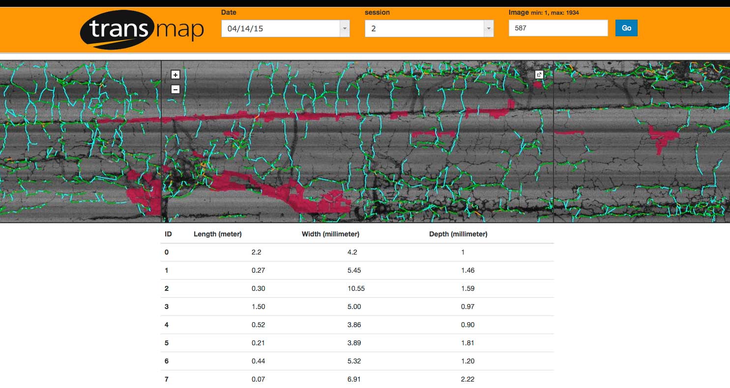
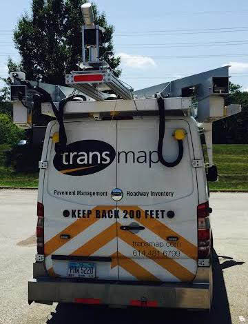
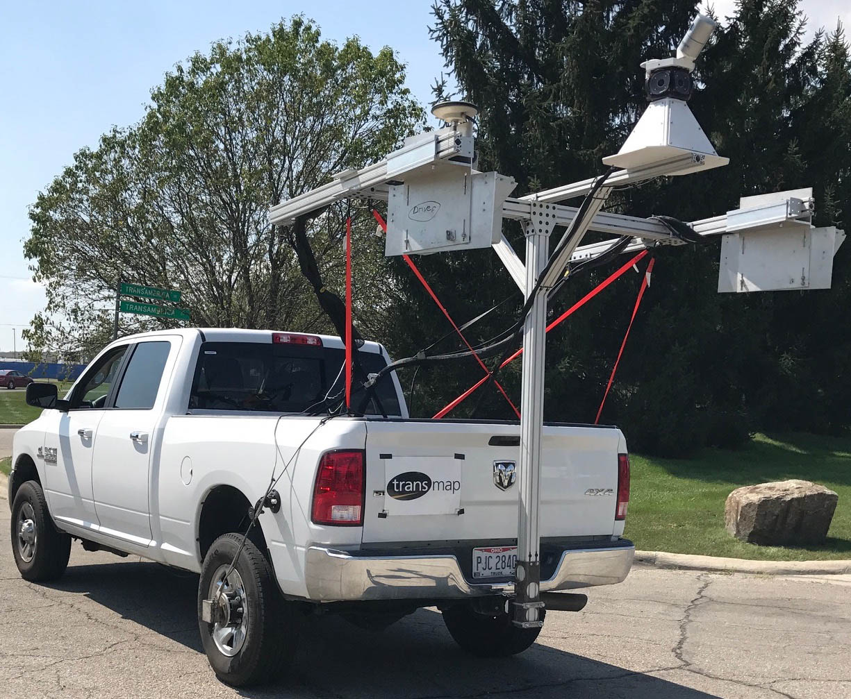
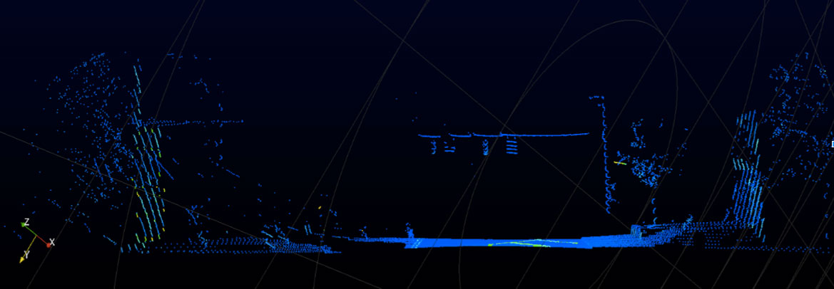
Transmap’s ON-SIGHT vehicles is equipped with the newest Pavemetrics Laser Crack Measurement System (LCMS), which uses laser line projectors, high speed cameras, and advanced optics to acquire high resolution 3D profiles of the road.
The 3D/2D images produced by the LCMS have the ability to show depths, rutting wheel paths, drop offs at the edge of pavement, and depths of cracks - not just widths.
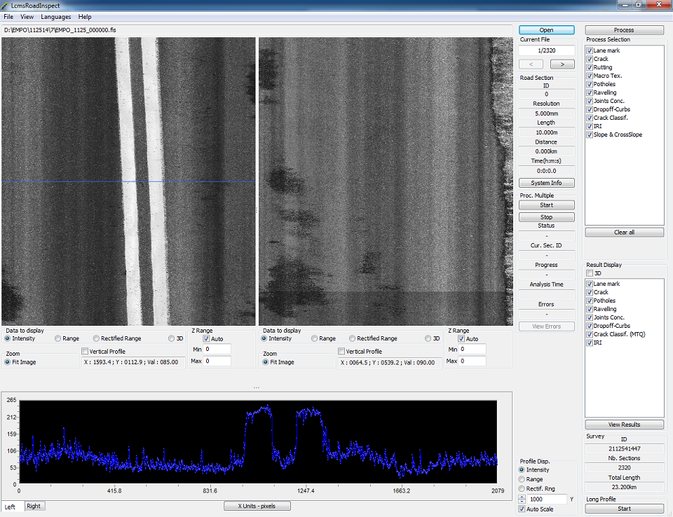
The International Roughness Index (IRI) and rutting data will be collected for the left wheel track, the right wheel track, and the average of the two wheel tracks in a manner that meets all ASTM E950 standards. These lasers will capture IRI data across 13.1 feet of the surface.
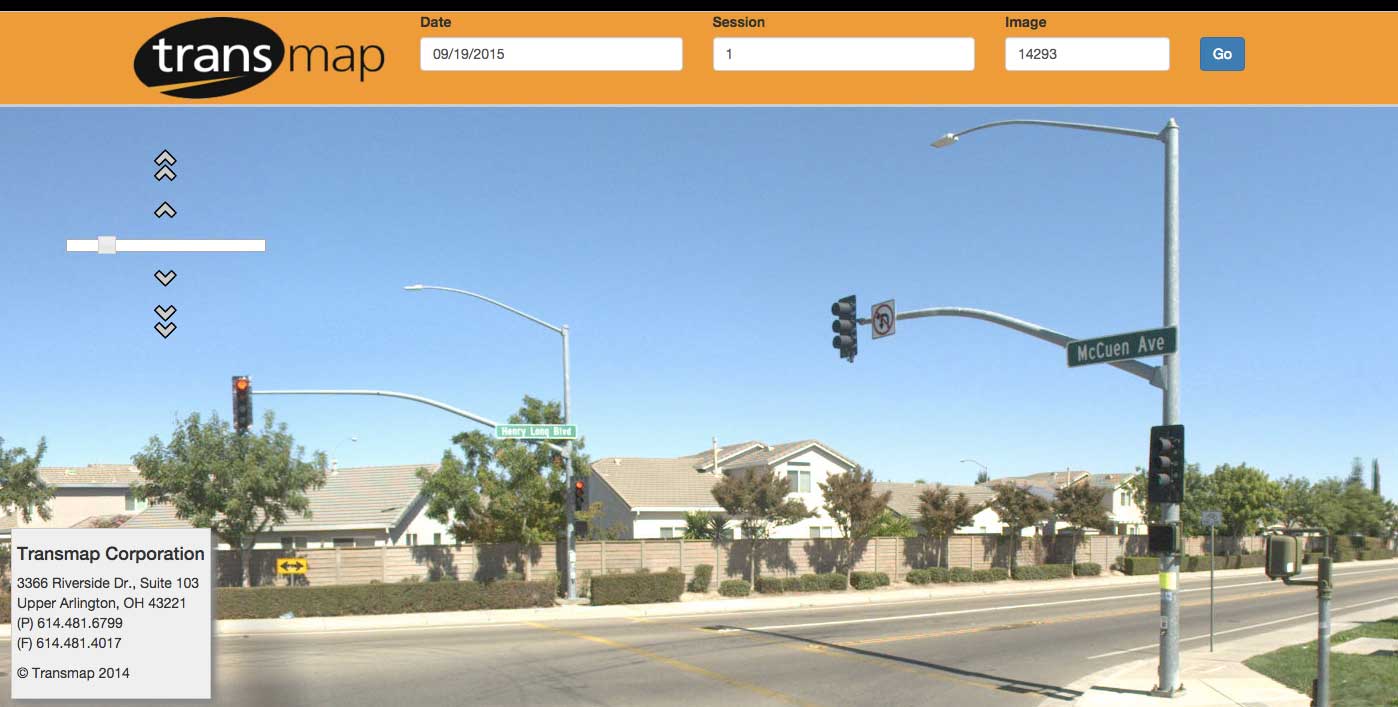
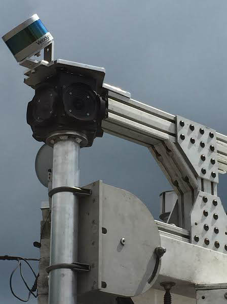
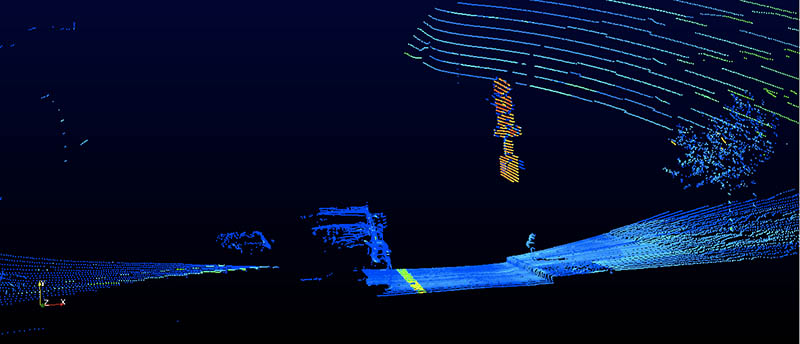
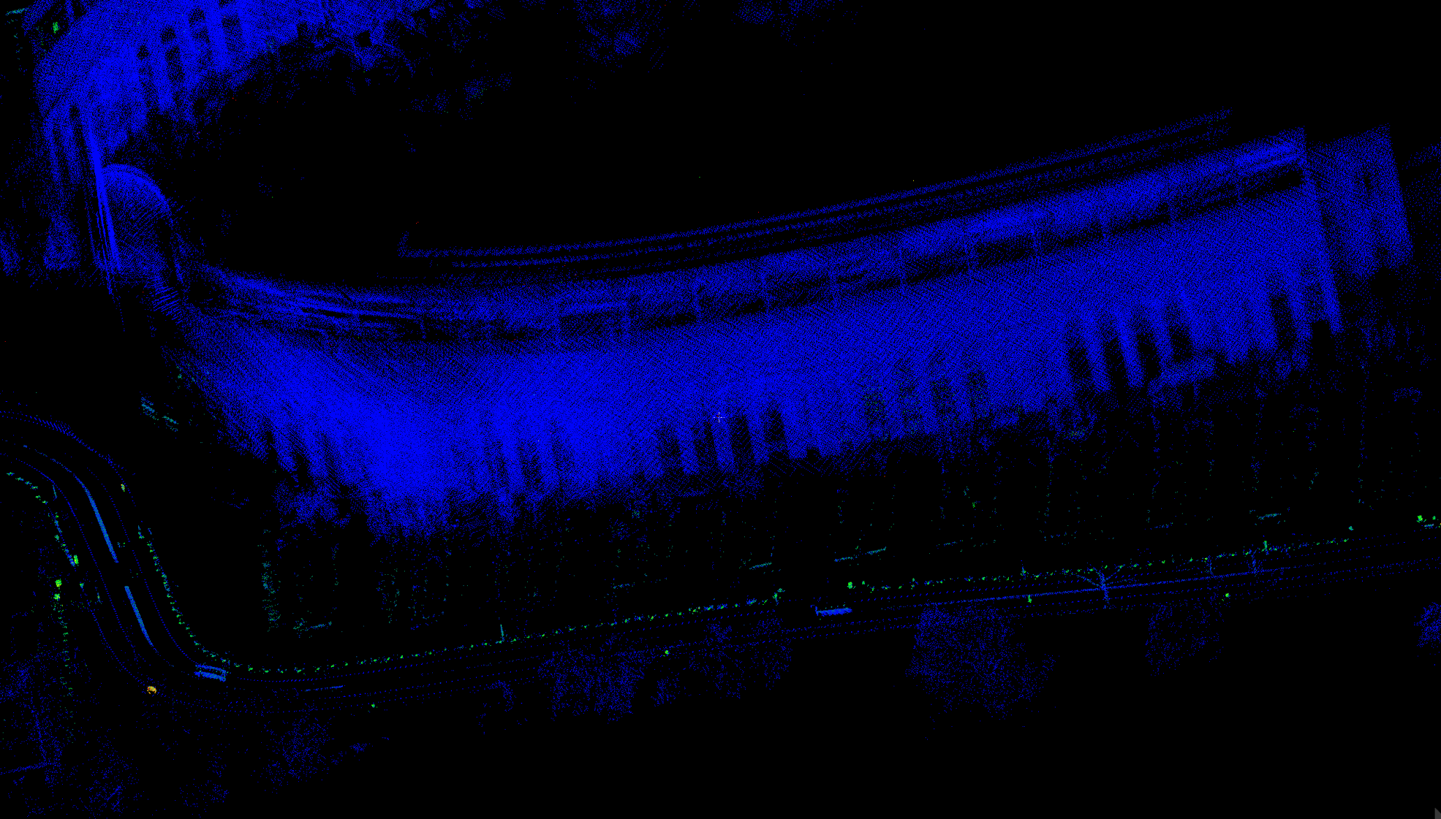
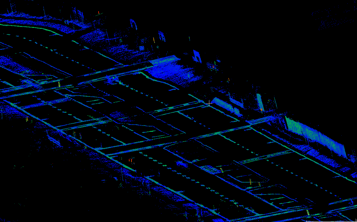
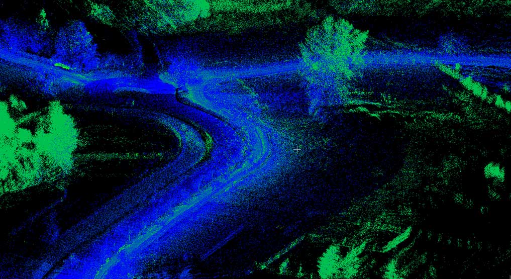
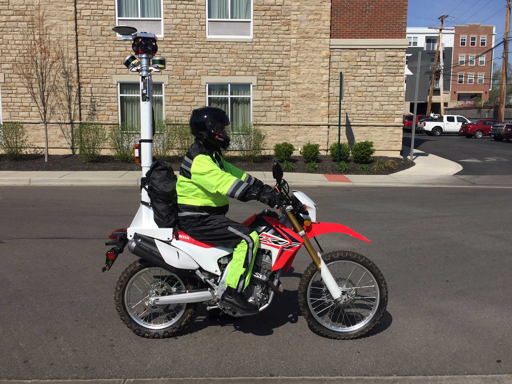
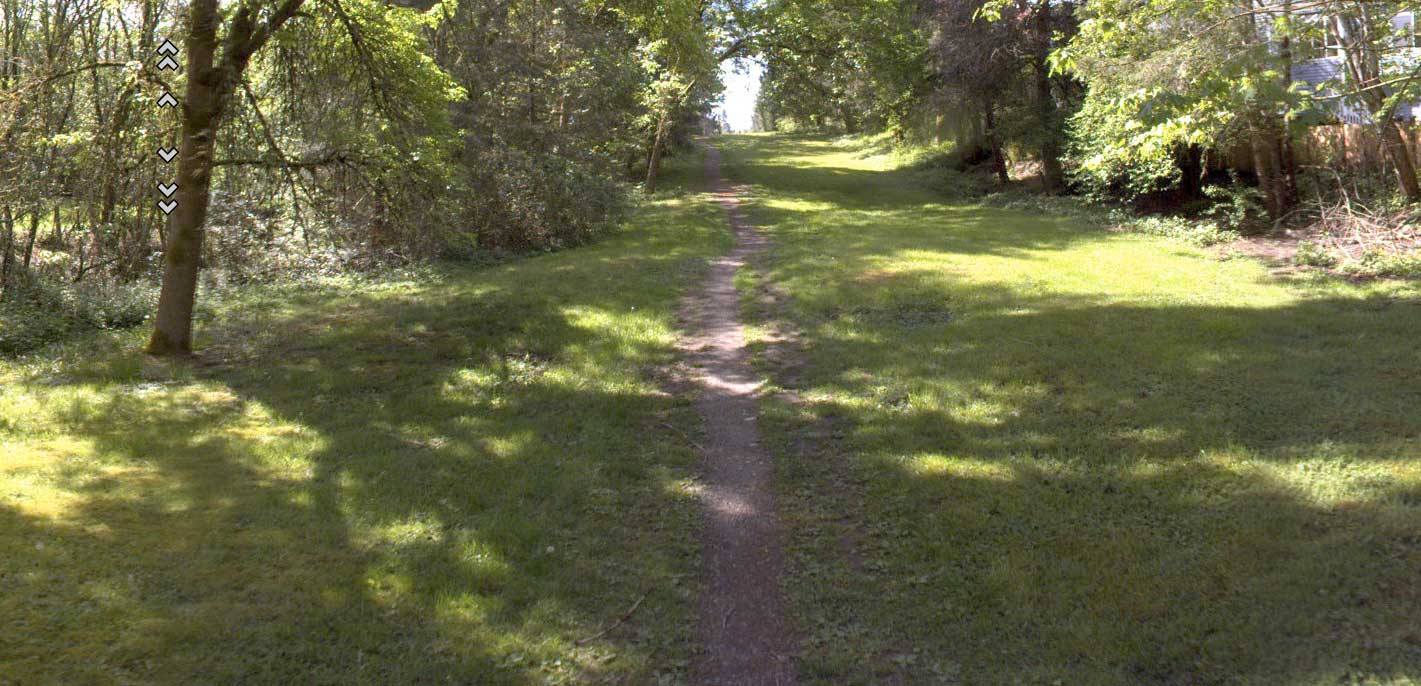
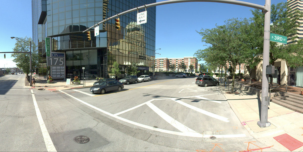
Transmap uses its ON-SIGHT™ HD Mobile Mapping System to capture ground-based LiDAR, 360 degree street-level, photogrammetric images and a dedicated HD camera scanning for pavement distresses. The ON-SIGHT™ HD Mobile Mapping System collects data at normal driving speeds so special traffic control devices are not required during data collection.
After the data collection process is completed, Transmap will assess the condition of all roadways in a network using the digital image database captured during raw data collection in the field. Trained pavement technicians rate both the type of distress (alligator cracking, edge cracking, potholes, etc.), as well as the severity of each distress, following the guidelines established by the ASTM D6433 standards.
Transmap uses a profilometer to collect rutting and ride data. The profiler meets all ASTM E950 standards. The International Roughness Index (IRI) is collected for the left wheel track, the right wheel track, and the average of the two wheel tracks.
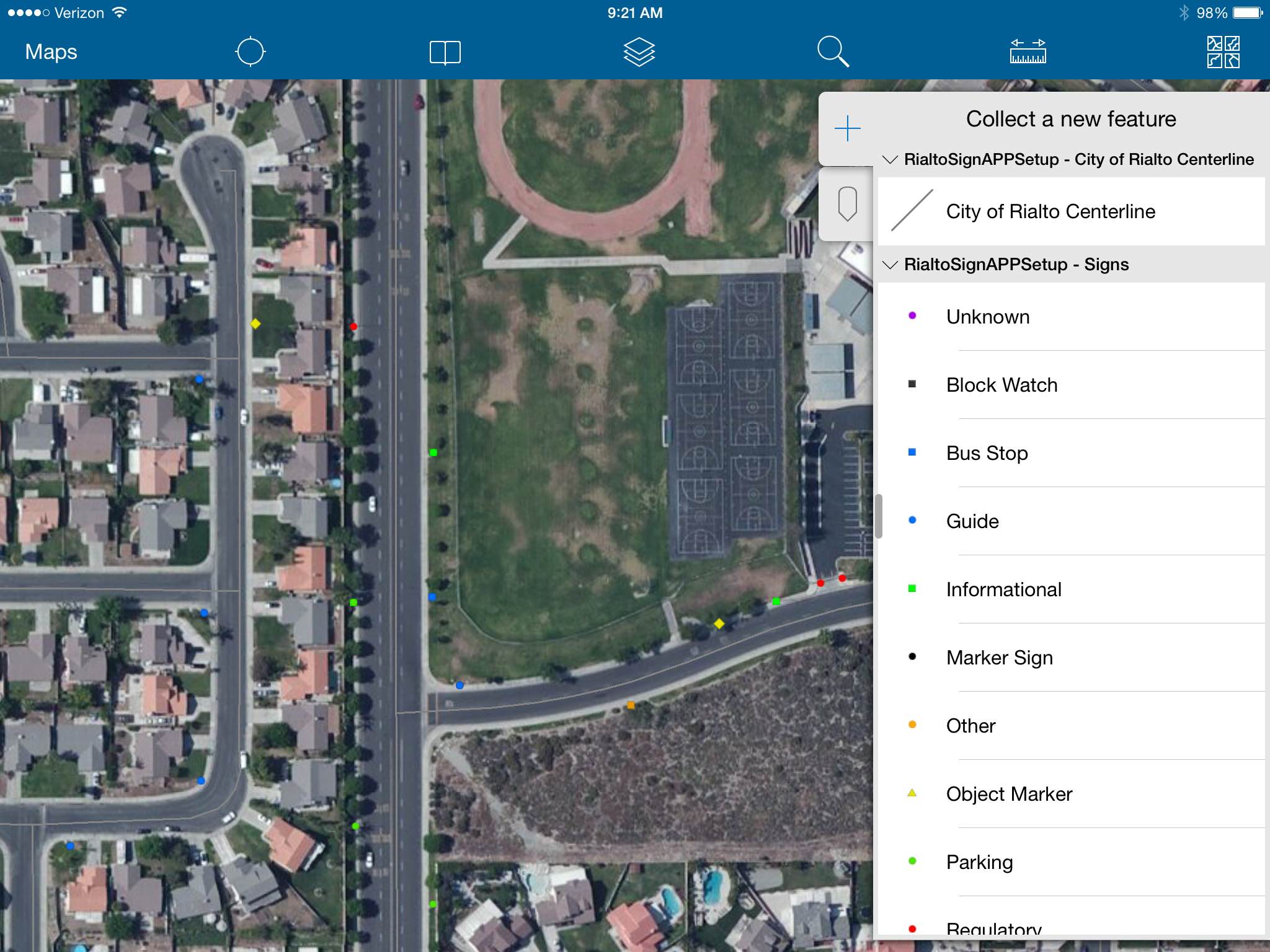
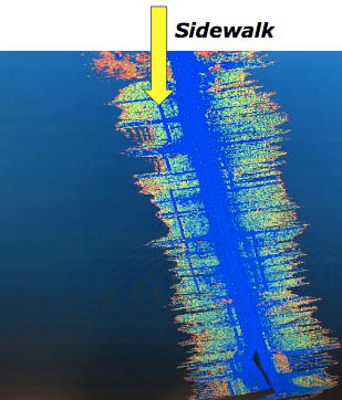
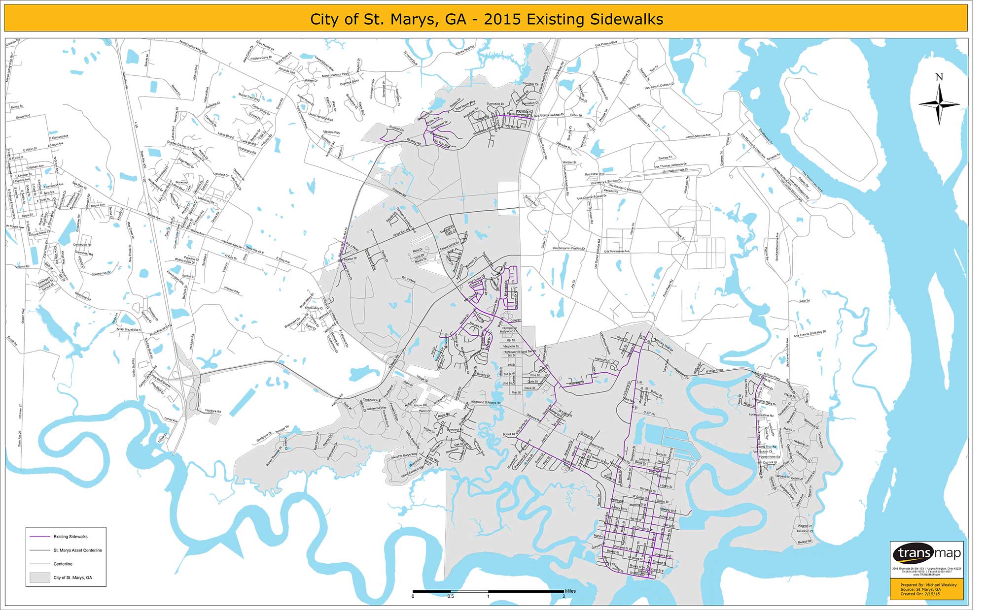
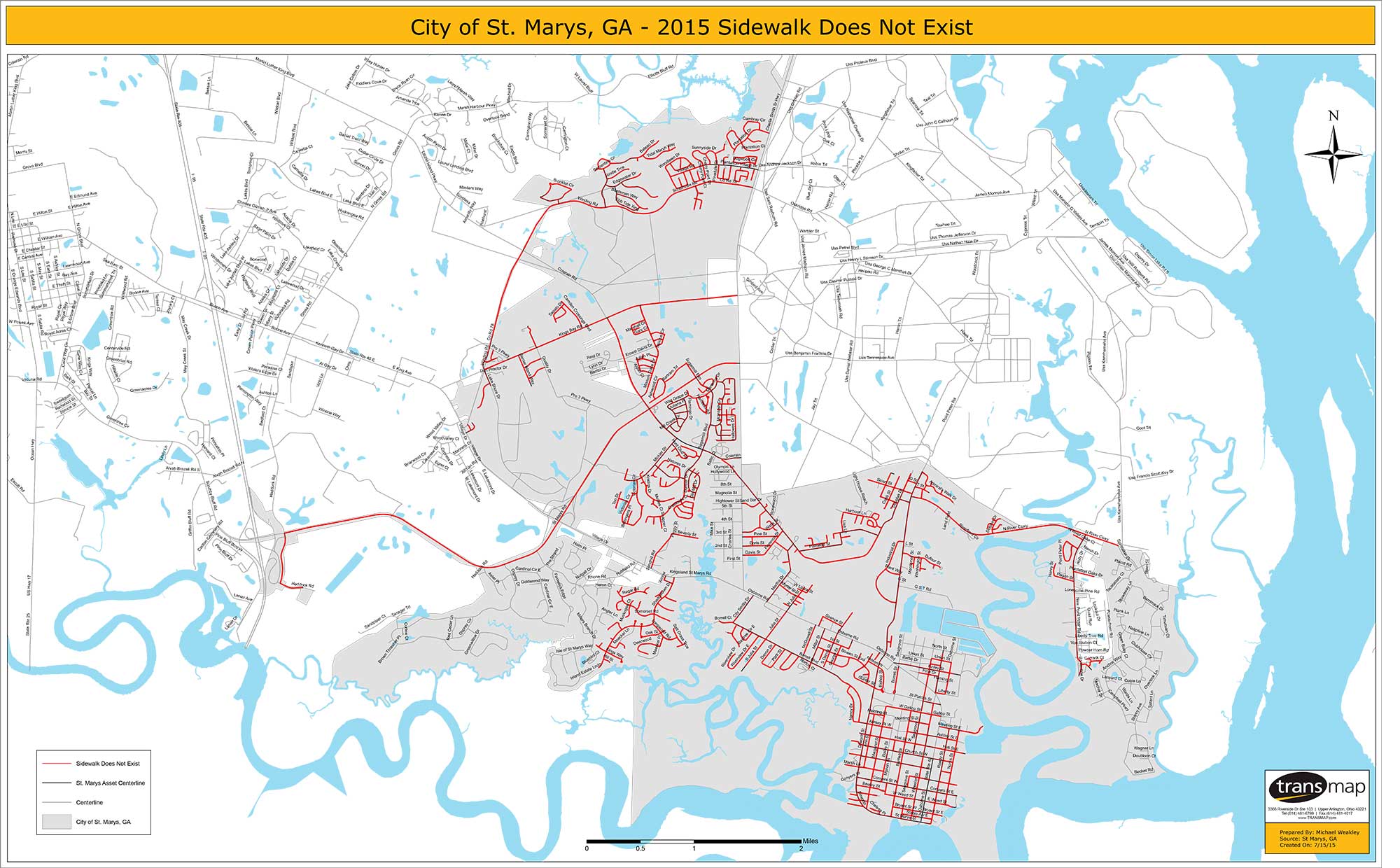
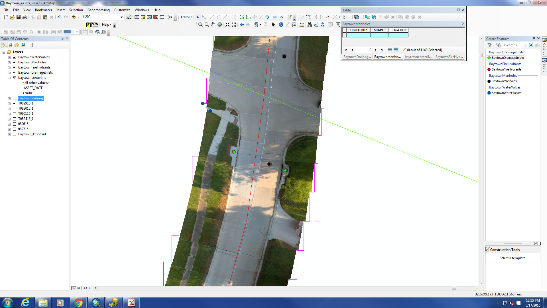
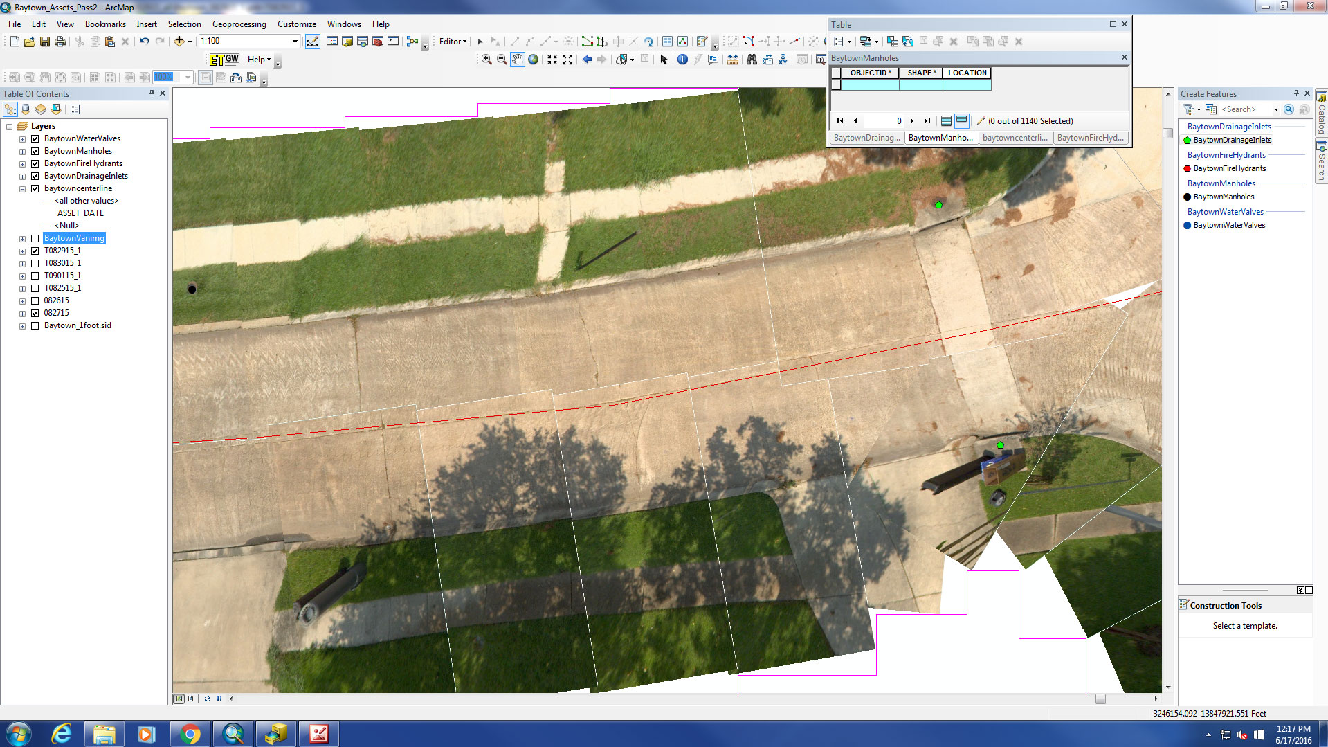
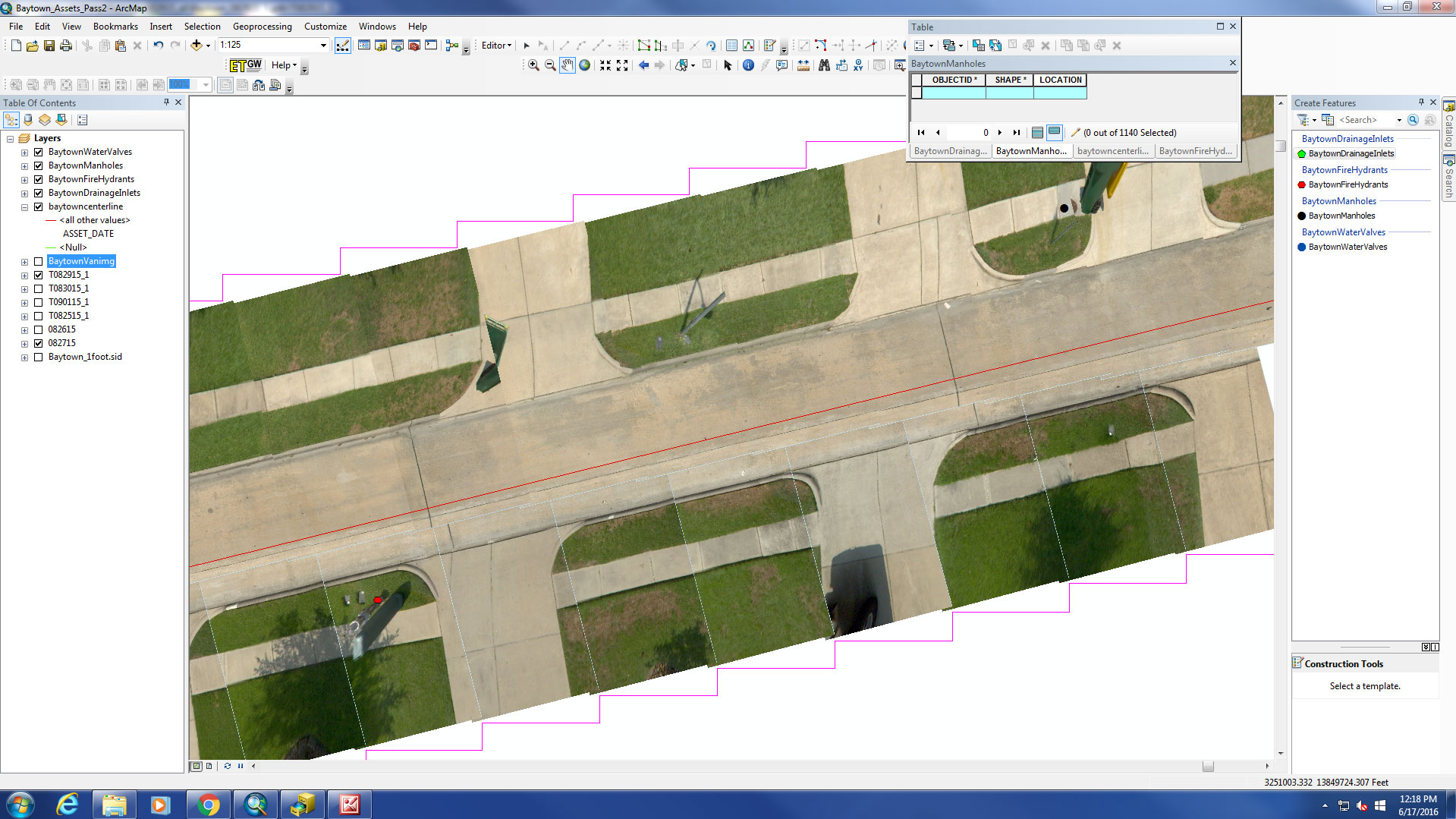
We have been collecting roadway assets for over 22 years with the ability to inventory the assets that provide cost savings for our customers. Some of these assets include traffic signs, traffic signals and poles, sidewalks, curbs, manholes, water valves, parking meters, hydrants, power vaults, gas valves, survey monuments, catch basins, light poles, drop inlets, pavement markings, guide rails, culverts, ditches, speed zones, school zones, cross walks, and street trees. Transmap also uses street level orthophotography, which is a valuable tool for roadway asset extraction.
Through our technology and our expert employees, Transmap can meet and exceed the data requirements for the condition assessment of all signs. These services include, but are not limited to: Sign location (within 1 meter), sign orientation, sign position, MUTCD code, standard width and height, sign structure, post structure condition, sign condition, etc.
Transmap can use the MUTCD nighttime visual inspection requirements to assess the retroreflectivity of each sign along with a daytime condition assessment.


Transmap has been a Public Works Solutions Partner with Esri for over 22 years. We are extremely well-versed in Geographic Information Systems (GIS), and how to best utilize GIS tools in the infrastructure management needs of our customers. With an increasingly changing software environment, Transmap’s open source policy allows for data to be seamlessly implemented into dozens of software systems.