Part One: General Roadway and Asset Management Definitions
The Language of Mobile Data Collection and Roadway and Asset Management
Every industry has its own specific language. Whether it’s education, health care, or pavement roadway and asset management.
In this first part of our three-part series, we’ll define key terms commonly used in our industry. At Transmap, we provide mobile data collection, analysis, and management solutions for cities and counties nationwide, and our industry is highly technology-driven, with many unique terms and acronyms.
Over the coming weeks, we’ll break down the terminology you might encounter when reviewing proposals or selecting a partner for roadway and asset management.
Below is a list of frequently used industry definitions.
General Roadway and Asset Management Definitions You Should Know
These are essential industry terms to know when reviewing a comprehensive Roadway and Asset Management proposal or report.
Asset Management > Pavement Management > Sidewalk Management
These terms outline different areas of management and the scope of work typically covered in a proposal. Asset Management is a broad category that includes all roadway assets, for example, hydrants, signage, trees, curb cuts, and roadway markings. Essentially, it involves strategies for the maintenance and repair of all assets owned by a city or municipality.
Pavement Management specifically addresses asphalt or concrete surfaces, including roadways, trails and parking lots. Sidewalk Management focuses on inspecting, repairing, and replacing sidewalks to ensure safe pedestrian passage. This is critical for municipalities, as sidewalk conditions can present significant liability risks.
ASTM D6433 Specifications
ASTM stands for the American Society for Testing and Materials. The D6433 standard, originally designed for manual field measurements, provides specifications and guidelines for creating a Pavement Condition Index (PCI) rating. This standard was developed by the Army Corps of Engineers as a comprehensive guide for assessing pavement conditions.
Automated Pavement Condition Survey
In the past, pavement conditions were assessed visually through "windshield surveys," a highly subjective method using only one's observations. With advancements in technology, early video surveys allowed for preliminary data to be captured,but analysis was still subjective. Today, data collection is automated and standardized using multiple technologies, including 360-degree panoramic cameras and Pavemetrics laser line scanners, which process data through mathematical analysis.
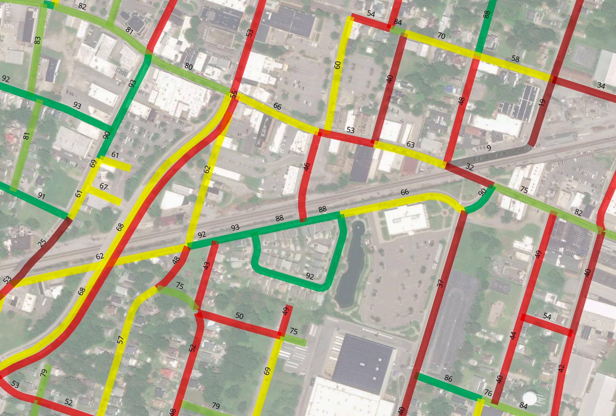
Centerline Miles
One mile of roadway is counted as one centerline mile, regardless of the number of lanes. For example, a one-mile road with two lanes equals one centerline mile but two-lane miles. Centerline miles and lane miles are critical metrics for receiving highway funding. Centerline miles are a primary metric in mobile data collection and are used to assess asset value. In Pavement Management, however, lane miles are the key metric for evaluating maintenance needs and funding.
GIS
GIS, or Geographic Information Systems, is a database used to create various types of maps, such as traffic and usage maps. Unlike simple tabular data, GIS can generate spatial maps, providing visual insights into geographic patterns and trends.
PAVER Pavement Management System
PAVER is an open-source, taxpayer-funded software developed by the Army Corps of Engineers. Like a specialized spreadsheet, it functions as the “Microsoft Excel” of pavement management, generating Pavement Condition Index (PCI) maps. Licensed by the American Public Works Association (APWA), PAVER uses mathematical models to calculate PCI and includes a predictive model based on existing data.
PCI / PCI Ratings
PCI, or Pavement Condition Index, is a rating system defined by ASTM standards. Roads start with a score of 100, which decreases as damage accumulates. A rating of 85–100 is considered excellent, while 0–40 indicates failed pavement. PCI ratings help guide agencies in determining maintenance, repair, and budget decisions.
QA / QC - Quality Assurance / Quality Control
QA/QC ensures standardized methods for data collection and analysis. Quality Control (QC) is applied continuously to detect anomalies during the process, while Quality Assurance (QA) is conducted at the end to confirm accuracy across the entire road network.
Understanding the terminology used in mobile data collection and roadway and asset management can help agencies to make more informed decisions during the initial proposal process and beyond. In our next installment, we’ll explore and define the technology used in data collection and management solutions.
Transmap, is a nationwide provider of professional pavement, roadway and asset management support services to cities, counties, and municipalities. Using our advanced technologies, we provide excellent customer service, and robust full analysis. We are dedicated to maintaining this high standard of data quality while also reducing data collection costs for our clients. To learn more, contact our main office located in Columbus, OH at (614) 810–1235.