Pavement Management Technology: NovAtel’s (PTP) Core Timing Solution
Accurate Data Starts with Good Timing
Agencies and DOTs depend on pavement data to make informed decisions about where to invest limited transportation funds.
From prioritizing maintenance projects to planning long-term rehabilitation, the accuracy of that data directly impacts budgets, schedules, and ultimately roadway performance. When the data is reliable, agencies can confidently target the right treatments at the right time.
What is often overlooked is how critical precision timing is to collect accurate data. Modern roadway surveys rely on multiple technologies, such as LiDAR, imaging, and positioning, all working together simultaneously. If those systems are even slightly out of sync, the resulting data can be misaligned, reducing confidence and usability. This is where NovAtel’s Precision Time Protocol (PTP) core timing solution comes in. Novatel’s PTP solution provides precise, consistent time synchronization across all data collection systems.
NovAtel’s Precision Time Protocol (PTP) Core Timing Solution helps ensure pavement data is accurate, repeatable, and dependable, giving cities a stronger foundation for smarter pavement management decisions.
Why Does Pavement Accuracy Matter
Accurate pavement data is the foundation for effective decision-making by cities and agencies. Agencies rely on this information to plan maintenance, develop realistic budgets, and meet reporting requirements tied to funding and performance goals. When pavement condition data is clear and accurate, it becomes much easier to prioritize projects, justify expenditures, and communicate needs to stakeholders.
The impacts of inaccurate data can be significant. Pavement segments can appear worse or better than they are. This can lead to mis-timed repairs or unnecessary spending. In some cases, agencies may be forced to re-survey roadways, increasing costs and delaying necessary, critical work. Even small data errors can compound over time, reducing confidence in the pavement management program.
That’s why consistency and repeatability matter as much as accuracy. Agencies need pavement data they can trust from year to year to track trends, measure performance, and make long-term planning decisions. Reliable, repeatable data supports smarter investments, extends pavement life, and helps to ensure that public funds are used responsibly.
The Challenge of Collecting Multiple Data Types Simultaneously
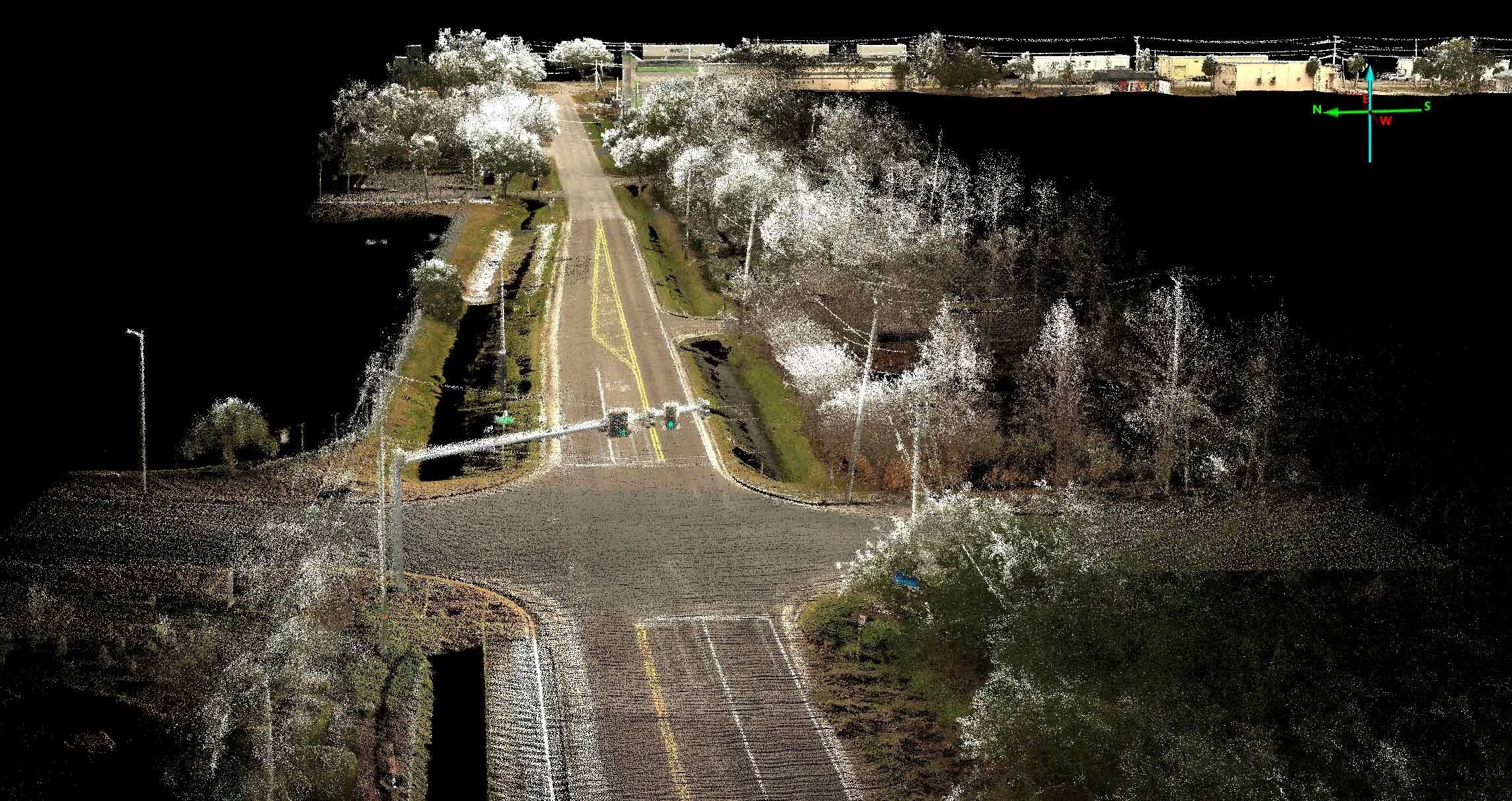
Modern pavement data collection relies on specialized vehicles that simultaneously collect multiple types of data. Panoramic, high-resolution 360-degree cameras capture surface conditions, LiDAR records precise roadway geometry, and positioning systems track the exact location of each data point. Ground-penetrating radar can even gather and record subsurface roadway conditions. Together, these technologies provide a complete picture of pavement condition and roadway assets, but only if they work together in unison.
For this to happen, every system on the vehicle must be perfectly synchronized. Every image, laser scan, and location point must be recorded simultaneously. Precise timing ensures the data properly aligns. This allows agencies to accurately identify pavement distress, measure conditions, and compare results over time.
When data isn’t aligned, problems can quickly escalate. Images may not match their true locations, LiDAR data can shift out of place, and pavement features may appear where they don’t exist. These types of misalignments can lead to flawed analysis, repeated surveys, and unnecessary costs. Ensuring accurate timing across all data collection systems is critical for producing reliable data that can be trusted for planning and decision-making.
What is Precision Time Protocol (PTP)
In simple terms, PTP keeps every sensor, like cameras, LiDAR, and positioning equipment, perfectly in sync so all data is recorded at precisely the same moment in time. This shared time allows information from different systems to lock up and align correctly when the data is analyzed.
In pavement data collection, even the smallest timing difference can create noticeable errors. If systems are off by as little as a fraction of a second, this mismatch can cause images to shift from their true location to misrepresent pavement features.
Over an entire network, these small errors can add up, reducing accuracy and confidence in the results. By synchronizing all data collection systems to a precise time source, PTP helps to ensure that pavement data is accurate, consistent, repeatable, and reliable, supporting better decision-making for cities and agencies.
This data misalignment is why, at Transmap, we use the superior Pavemetrics Laser Crack Management System, along with NovAtel’s Precision Timing Solution Core Timing Solution, rather than LiDAR. LCMS technology is a much more accurate method for assessing pavement condition.
NovAtel’s PTP Core Timing Solution
NovAtel’s PTP core timing solution addresses one of the most critical challenges of pavement data collection: keeping all systems perfectly time-aligned. By using GNSS (Global Navigation Satellite System) timing as a common reference, NovAtel’s PTP ensures that cameras, LiDAR sensors, and positioning systems are all synchronized to a single precise clock. This allows each piece of data to line up accurately during processing and analysis.
GNSS Timing uses highly accurate atomic-clock-synchronized time signals broadcast by satellite constellations (like GPS, Galileo, GLONASS, and BeiDou) to timestamp data, synchronize distributed systems, and calculate precise positions. While GNSS is widely known for location positioning, it is equally critical as a source of Coordinated Universal Time (UTC) with precision down to nanoseconds. GNSS timing is the backbone of modern data collection, providing a reliable, universal, and high-precision time reference that allows for accurate spatial and temporal data integration.
Consistency is critical during mobile data collection, where survey vehicles are moving at traffic speeds, collecting millions of data points in real time. By using GNSS timing, NovAtel’s PTP solution provides reliable timing throughout the survey, reducing the risk of drift or misalignment that can compromise data quality. The result is cleaner, more dependable datasets that agencies can trust.
Designed specifically for mobile mapping and roadway survey applications, NovAtel’s PTP Core Timing Solution integrates seamlessly with modern pavement collection systems. Supporting accurate, repeatable measurements helps agencies collect higher-quality data, reduce rework, and make more confident pavement management decisions.
The Benefits of Accurate Timing
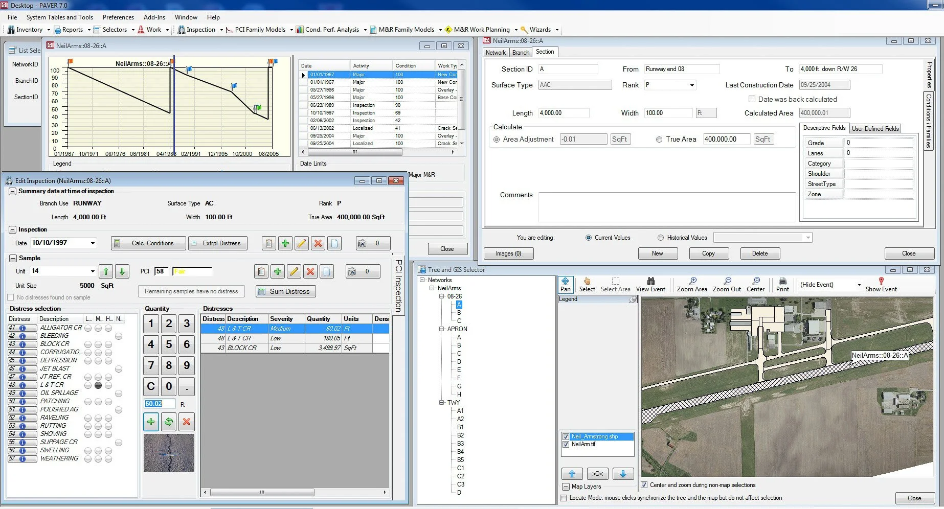
For city and DOT pavement programs, precise timing offers clear, practical benefits. When systems are properly synchronized, the data is more accurate and consistent. This results in PCI ratings that reflect actual roadway conditions. This makes identifying and prioritizing maintenance needs and planning treatments at the right time possible.
Reliable data also increases confidence in decision-making. Engineers and planners can trust the data when selecting treatments, prioritizing projects, and justifying investments to leadership and the public. With accurate data, pavement management shifts from reactive fixes to proactive planning.
Precise timing also improves efficiency. Well-aligned data reduces errors that can lead to repeat surveys, rework, or extended analysis time. Fewer corrections mean lower costs and quicker results. In the end, agencies can make better use of limited funds and maximize budgets while delivering safer, longer-lasting roadways for their communities.
Real-World Use and Results
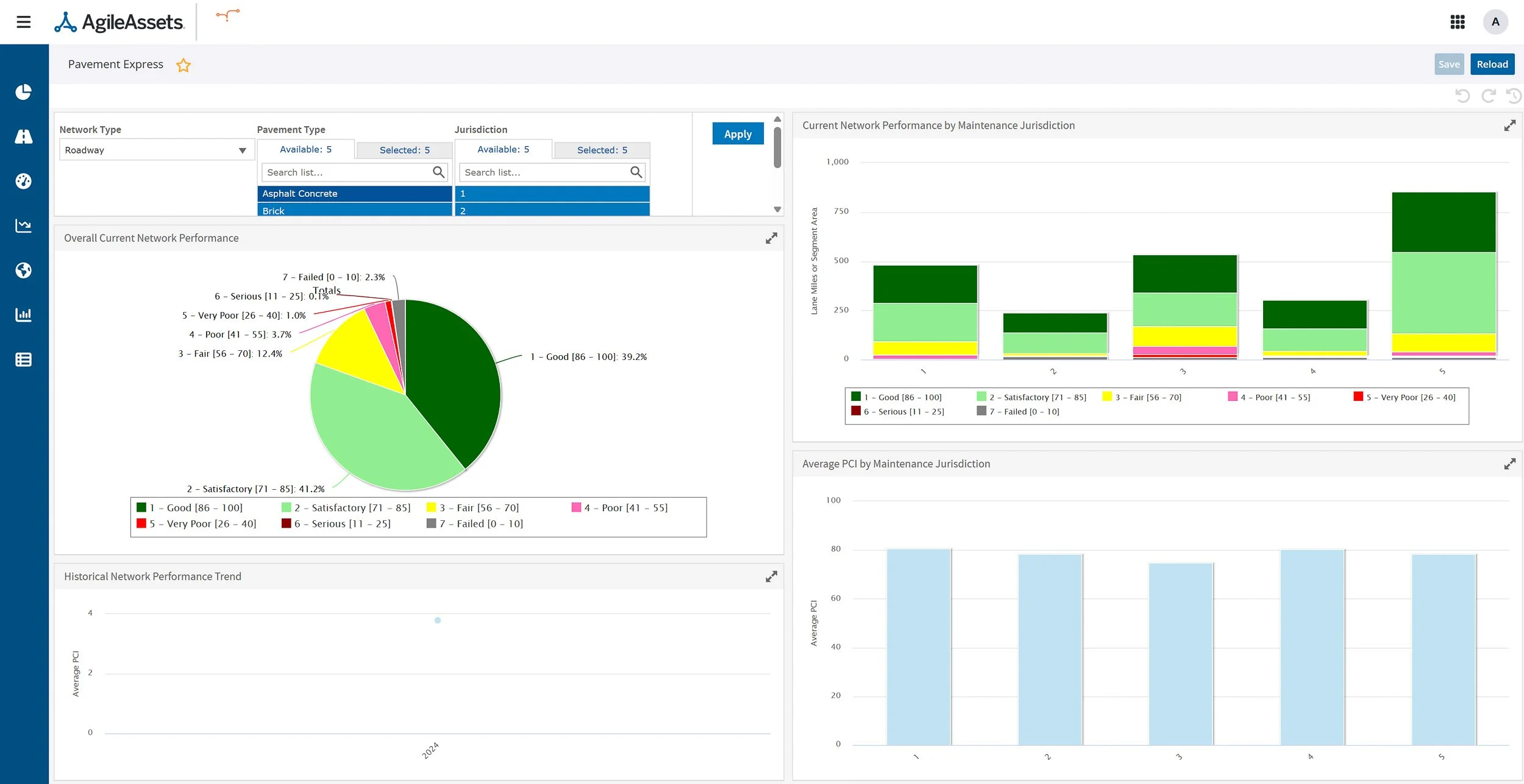
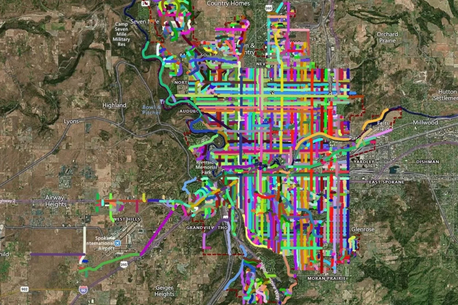
In real-world pavement management, precise timing is key to turning raw data into actionable insights. For network-level pavement assessments, synchronized data allows agencies to evaluate roadway conditions consistently across the entire system. This supports accurate comparisons between road segments and helps ensure that limited funds are directed where they are most needed.
Accurate timing also improves repeatability in multi-year management programs. When data is collected the same way each year, agencies can confidently track changes in pavement condition over time and measure the effectiveness of past investments. Consistent results make long-term planning more reliable and defensible.
Just as important, high-quality, well-aligned data allows agencies to stand behind their decisions confidently. When pavement strategies are based on accurate, repeatable information, cities and agencies can clearly explain and justify maintenance priorities, funding requests, and project outcomes to leadership, stakeholders, and the public.
The Bottom Line: Better Timing Leads to Better Pavement Decisions
Behind every effective pavement management program is accurate data that agencies can trust. Precision timing plays a critical role in ensuring that pavement data is accurate, consistent, and reliable from the moment it is collected. When all survey systems work in sync, the resulting information provides a clear picture of roadway conditions and needs.
Reliable data directly leads to better decisions. Cities, DOTs, and agencies can plan more effective maintenance, prioritize projects confidently, and invest in treatments that extend pavement life. Over time, this results in smoother, safer roads, fewer emergency repairs, and better use of limited budgets.
Core technologies like NovAtel’s Precision Time Protocol (PTP) Core Timing Solution strengthen the foundation of pavement management programs. By improving data quality at the source, agencies support responsible infrastructure management and make informed decisions that deliver long-term value to the communities they serve.
Transmap is a nationwide provider of professional pavement, roadway, and asset management support services to cities, counties, and municipalities. Using our advanced technologies, including the NovAtel PTP Core Timing Solution, we provide excellent customer service and robust, complete analysis. We are dedicated to maintaining this high standard of data quality while also reducing data collection costs for our clients.
To learn more, contact our main office in Columbus, OH, at (614) 810–1235.